The Guardia
Platform
The technology stack that powers real-time conservation intelligence, from satellite orbit to forest floor.

Spatial Temporal Intelligence
Guardia processes satellite imagery, drone feeds, and sensor data across both space and time, turning raw environmental signals into actionable conservation intelligence. The engine runs AI models and analytics across temporal and spatial dimensions simultaneously, enabling real-time threat detection, seasonal biodiversity pattern analysis, and predictive ecosystem modeling.
Knowledge Graph
Every species observation, sensor reading, habitat boundary, and conservation action connects in a living graph of relationships. The knowledge graph provides an ontology-driven map of connections between all data sources, powering both human discovery and AI-driven insights that no single data source could reveal alone.
Data Mesh
Access, transform, and harmonize data from any source, satellite imagery, environmental DNA results, acoustic sensor feeds, field reports, without traditional data engineering bottlenecks. The data mesh creates a unified, computable layer where every data source becomes immediately usable, eliminating the months-long ETL pipelines that cripple traditional conservation programs.
Advanced Datasets & Monitoring Feeds
Ingest and analyze satellite-grade data including VIIRS night imagery, multispectral composites, and synthetic aperture radar, with native compatibility for ground-based sensor networks and drone-captured feeds. Multi-source monitoring from orbit to canopy level, updated continuously.
Forest Health & Biodiversity Monitoring
Track deforestation patterns, canopy degradation, and biodiversity indicators in real time. AI models analyze vegetation indices, species distribution shifts, and habitat fragmentation, surfacing early warnings of ecological stress before irreversible damage occurs.
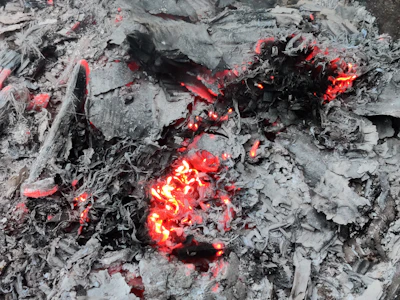
Wildfire Detection
Spot active fires at night in real time, enabling rapid response before blazes spread across protected forest.
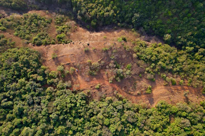
Deforestation Monitoring
Track illegal logging and land clearing by detecting sudden changes in canopy cover across vast forest regions.
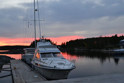
Fisheries Monitoring
Track fishing fleets using bright lights to attract catch, detecting illegal fishing in protected marine areas.
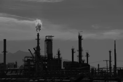
Gas Flaring Detection
Identify and quantify natural gas flaring at extraction sites, measuring environmental impact and compliance.
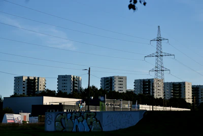
Power & Infrastructure
Monitor electrification progress, detect outages after natural disasters, and track grid expansion in remote regions.
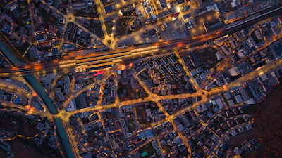
Urbanization Tracking
Measure urban expansion and land-use change over time using nighttime light intensity as a proxy for development.
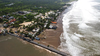
Disaster Assessment
Rapidly evaluate damage after earthquakes, floods, or storms by comparing pre- and post-event lighting patterns.
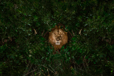
Ecological Impact
Study the effects of artificial light on migratory birds, nocturnal wildlife, insects, and marine species like sea turtles.
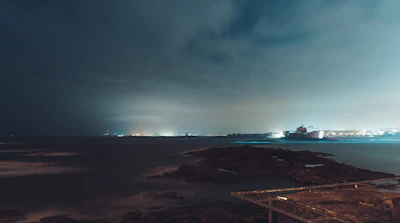
Shipping & Port Activity
Monitor vessel traffic, port operations, and maritime logistics via lit ships and coastal infrastructure.
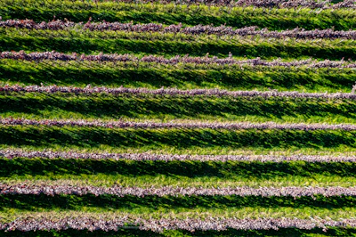
Agricultural Monitoring
Detect greenhouse lighting operations, nighttime harvesting, and land-use patterns across agricultural regions.
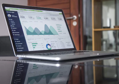
Economic & Population Intelligence
Estimate GDP, map poverty, and model population distribution at sub-national scales, using nighttime radiance as a proxy where official statistics are unreliable or unavailable.
And Thousands More
An ever-expanding library of advanced datasets, monitoring feeds, and analytical models, from conflict zone assessment to climate research, poverty mapping to border surveillance.